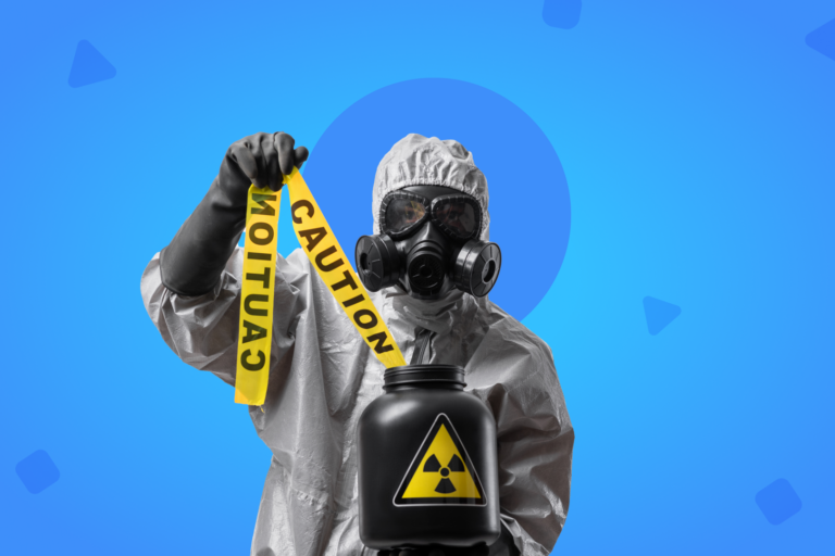
Right now, the United States and the Caribbean are experiencing a devastating hurricane season, bringing winds so intense that have caused the destruction of infrastructure, massive energy blackouts and the loss of human lives in different countries of the area. As it passes through Miami, hurricane Irma has already turned into the first storm in recorded history that has maintained top winds of 185 miles per hour for 37 straight hours. Before Irma, hurricane Harvey had broken a record as it became the most rainfall ever from a single storm in the continental United States, leaving huge parts of Texas under water. After Irma, Jose and Katia are arriving as well, a chain of perfect storms one after the other.
Early warnings helped most of the affected population to take shelter. The main concern is therefore the material destruction of buildings and homes. As a matter of fact, experts in damage assessment from the Germany-based Center for Disaster Management and Risk Reduction Technology, at Karlsruhe, stated that the hurricane Irma caused around $10 billion in damages as it leveled homes and destroyed infrastructure in places like Saint Martin, the US Virgin Islands and Antigua and Barbuda, making it the single most devastating hurricane in terms of material damage in that region. In the United States, according to CNN, the nation’s emergency management chief is warning that over 5 million residents could be without power, in some instances for weeks.
As hurricane Irma enters Florida, ABC News points out that National Oceanic and Atmospheric Administration meteorologists are predicting that the likelihood of an above-normal season is over 60%, because of several atmospheric conditions, including the increase of temperature of the Atlantic Ocean by 1 or 2 degrees.
Apps for damage assessment
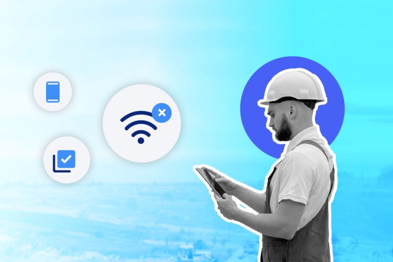
Once these terrible storms are gone, the priority for governments and companies should be a quick and efficient damage assessment. Given the lack of power, smartphones -if they are used efficiently- can be powerful tools during the first hours of the emergency to lead the damage assessment from the field, and once again, this is proven by how the affected population use their smartphones.
In a previous article we introduced a new set of functions led by Google and Apple to improve the administration of emergencies and accidents. In a similar manner, authorities, rescue teams and volunteers are turning to apps to help in rescue operations and to perform a necessary damage assessment after these disasters. Up next, thanks to As Chile, we’ll show you the 6 main apps being used ever since the hurricane Harvey struck the US, in order to help the victims, and in order to implement a real and effective damage assessment:
Zello
This app allows turning a mobile phone or tablet into a walkie talkie thanks to its press-to-talk (PTT) function. The practicality of talking to your contacts in private or take part of public channels is helping rescue teams to speak first-hand with people in need when reaching one of the affected areas. They have also become a key element to know which roads are closed and where, the location of the shelters, where additional volunteers are needed, etc.
Glympse
A quick, simple and free way of sharing your location in real time with your family, friends or co-workers via GPS. This app allows you to send a Glympse so that your friends or family know if you’re on your way. You can also request a Glympse, or create a Glympse group to meet your contacts. The best part is that the people you share a Glympse with can see it in any device with a web navigator, no registration required, and that’s why it’s used a lot in Houston so people can be aware of the location of rescue boats, for example.
Snapchat
Thanks to its reach, user base and immediateness, Snapchat has become an instantaneous information source to know the effects of the hurricane, even faster than Twitter. The Snap Maps function is helping many people to follow the lead of Harvey in the different areas of Houston, as well as letting the world know the real devastation it has caused.
Google Maps
One of the most used tools on a daily basis has become an essential piece for rescue operations to know in real time who needs to be rescued. Every person in a dangerous situation can fill a request in Google to include his location on the map.
Pawboost
People come first, but animals are always forgotten in this kind of catastrophes, because most shelters don’t accept pets and you must leave them behind or stay outside with them. Pawboost is an app created thanks to the people’s support which is working with the website Weather.com to help pets reunite with their lost owners, because of Harvey.
DataScope
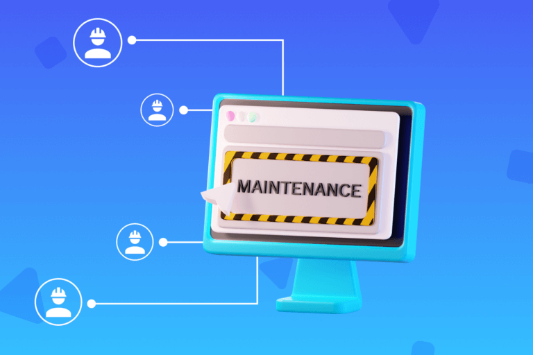
When disasters and emergencies strike, a key step to start to overcome the catastrophe and set courses of action to aid the affected people is the damage assessment. DataScope, a data collection tool which operates from the very affected area, is the best platform for damage assessment thanks to its mobile, 100% editable forms, which adapt to attend any need at hand. With your smartphone at hand, you only need to download the app and edit the fields of the form, and then you can take your smartphone to the field and start sending the information in real time to other devices or to a main office, where they can put together and analyze the data in a matter of minutes.
The practicality of these mobile forms, which replace the paper form, is that they don’t require connectivity. In case there’s no Internet signal, all the data is stored offline, which prevents it from getting lost.
As if this were not enough, each form allows adding critical data, such as the time when the data was collected, pictures, and the GPS location at the affected area, to make the damage assessment richer.
In the future, mobile apps will become even more essential tools in case of catastrophes or disasters. That’s why you have to make sure to keep your smartphone at hand in case anything happens!
DataScope is a platform which allows various industries to streamline, organize and evaluate the work of their field staffs thanks to online forms which provide real time indicators 100% adaptable to any field.